Having completely failed to take any photos or write any words about our trip into the Rhinogs a few weeks back, I thought I’d make a bit more of an effort with the little stroll I took a couple of days ago – albeit more for my own future reference than for any thought that it will prove interesting to anyone else.
It was a walk prompted by having taken our house-guests for a very short stroll around the local ponds on Boxing Day. Last time I walked that way must have been in the spring, at which point the water levels were the lowest I’ve ever seen. I couldn’t imagine, at the time, how long it would take them to recover, particularly as I’ve never found any of them to have an inflow.
I was obviously lacking the imagination to picture the dampness of the weather since spring. On Boxing Day we found that the pond-with-an-island no longer has an island, it just has trees sticking out of the water. At the one end, the path and a bench are underwater.
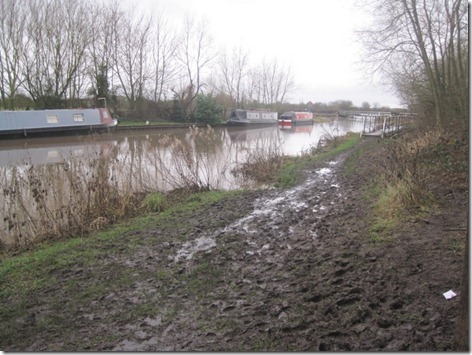
So, that prompted me to break the laziness that has prevailed for months and to take a turn down to look at the river section of the canal, which was sure to be closed. This is what I found:
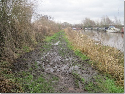
Urgh! Mudfest!
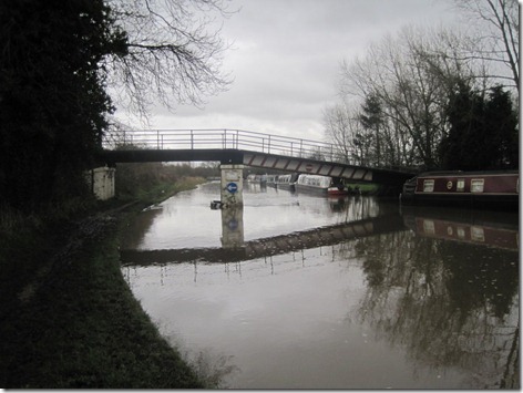
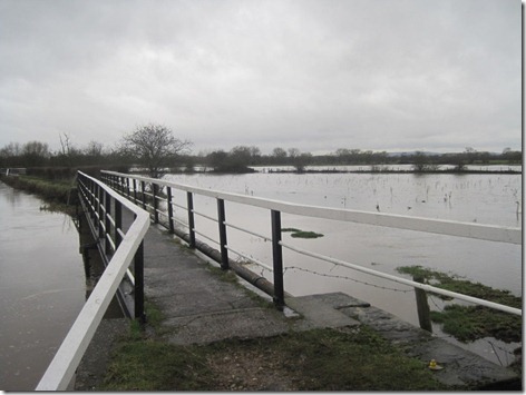
Contrary to the appearance given by a strong flow, this isn’t the river-section-proper, but the water is higher than I recall having seen it before, just an inch below the barrier under the bridge.
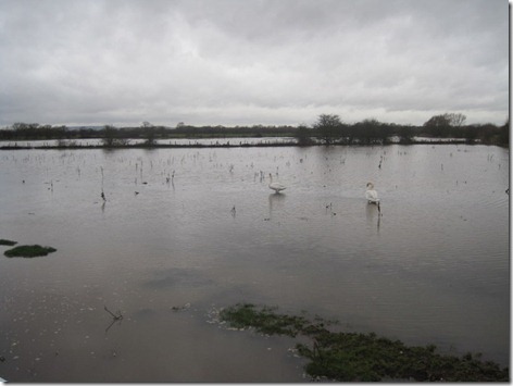
Swans in a field
Canal on the left of the walk-way, fields on the right. I wonder what it was like a few weeks back, when so many of our local roads were closed due to flooding?
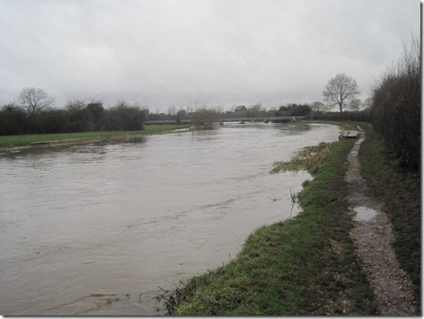
That’s the river section. It doesn’t usually look quite like that. It usually looks more canal-like.
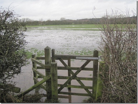
I would usually go through that gate and across that field. I opted not to on this occasion!
Did I mention that it was muddy?
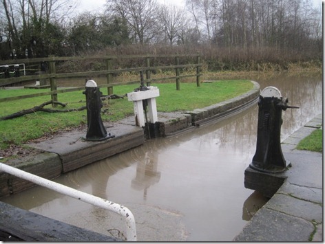 There should be a traffic light indicator board on the left-side lock wall, which indicates whether the river section is ‘open as normal’, ‘proceed with caution’ or ‘closed’ (not that anyone could get that far, as the lower lock gates get padlocked closed when it’s closed). I assumed that the board was completely submerged, but having looked at an old photo, it turns out that it’s just dropped off. Or maybe it was removed when someone realised that the canal would have over-flowed in many other places before it reached the red marker.

No comments:
Post a Comment