I'm going to have to cast my mind back a bit here. Somehow this* is the first time I've found since last Wednesday to pen a few words about what turned out to be the final hill of this trip. (*'this' is as we are driving past Stirling on our way south, with Mick just having taken the wheel.)
Wednesday 23 May
Distance: 1.4 miles
Ascent: around 140m
Weather: overcast but dry
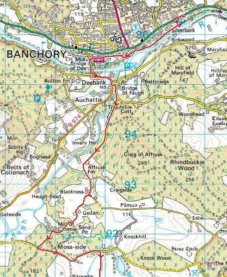
Start: Large layby on A957 at NO 77914 91027
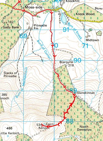
On paper, Cairn-mon-earn looked to me like one of those hills that someone would only visit if they were a hill bagger, which is, of course, exactly why I found myself there early last Wednesday morning.
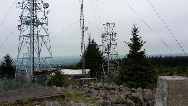
Appearances can be deceptive and it turned out to be a nice little hill, if you overlook all of the communications masts and equipment on the summit and the line of power lines on the way up.
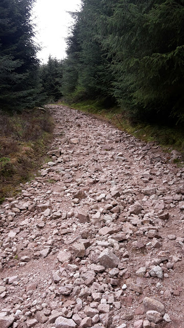
It was certainly a quick and easy one. Shunning the forest track that takes an indirect route from the A957 around to the back of the hill, before approaching the top from there, I opted to go straight up the break through the forest, which I accessed directly opposite the layby.
Initially it was a tiny bit boggy (I lost both feet in gloopy peat at one point, which was careless) and it occurred to me that in a few weeks the bracken would probably be an impediment...
...but I'd not ascended very far before picking up a well-trodden line that took me all the way to the top.
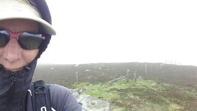
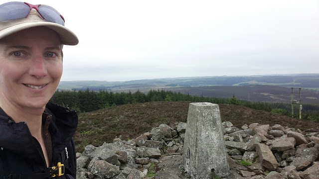
Standing at the trig point, which sits atop a pile of stones, the outlook to the north west and south were pleasant.
Looking west(ish)
It was to the east that it all became too industrial:
Returning via my ascent route, I got back to Bertie having spent 21 minutes going up and 11 minutes getting back down (plus and unknown length of time on the top). That left me plenty of time (or about 3 hours more than necessary) to drive to and through Aberdeen to pick Mick up at his TGO Challenge finish point...
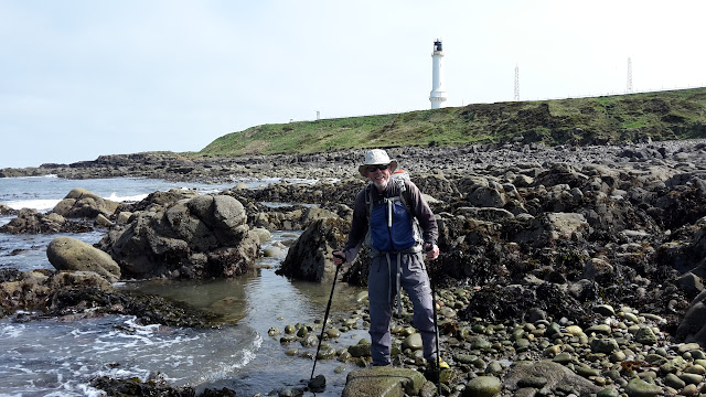
...although I wasn't quite able to manage that as harbour extension works had the road at Girdle Ness closed, so he had to walk a short distance back out across the golf course. I joined him for that short return section and did offer to carry his bag once his Challenge was officially completed, but he declined.
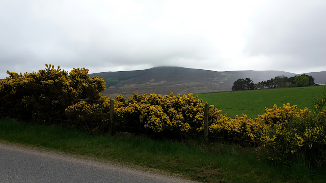
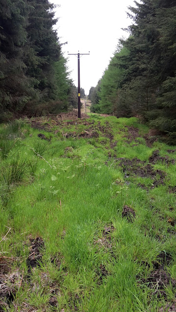
There was one more hill I intended to visit on my way from Aberdeen to TGO Challenge Control at Montrose (Hill of Garvock). The only thing that potentially saves this middle-of-a-field from falling entirely within the 'pointless summits' category is the presence of a tower atop it. I'll have to reserve judgement, as having driven to my start point, which sits about 1 mile and 30m of ascent away from the top, and having attempted approaches via two different fields, I left it unbagged due to overly frisky cows, with young, and an overly interested bull. I'm not generally too fazed by cattle these days, but these exceeded my tolerance level for bovine behaviour. I shall have to return to this one in the winter months sometime.
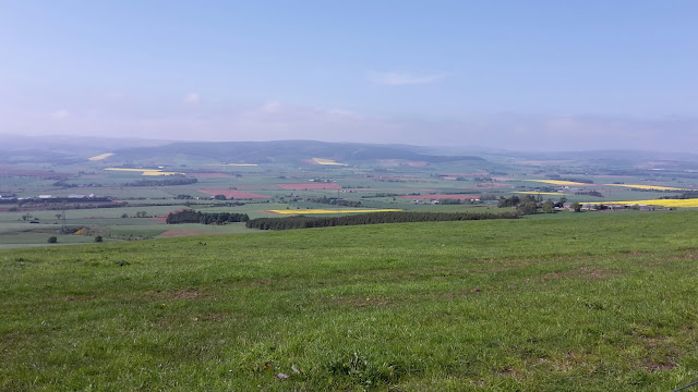
The view on the way to Hill of Garvock
That's it for Marilyn bagging for the time being. I think my final tally for the trip was 46, bringing my overall total to over 440 (but under 450; I don't know the exact number off the top of my head).
Wednesday 23 May
Distance: 1.4 miles
Ascent: around 140m
Weather: overcast but dry
Start: Large layby on A957 at NO 77914 91027
On paper, Cairn-mon-earn looked to me like one of those hills that someone would only visit if they were a hill bagger, which is, of course, exactly why I found myself there early last Wednesday morning.
Appearances can be deceptive and it turned out to be a nice little hill, if you overlook all of the communications masts and equipment on the summit and the line of power lines on the way up.
It was certainly a quick and easy one. Shunning the forest track that takes an indirect route from the A957 around to the back of the hill, before approaching the top from there, I opted to go straight up the break through the forest, which I accessed directly opposite the layby.
Initially it was a tiny bit boggy (I lost both feet in gloopy peat at one point, which was careless) and it occurred to me that in a few weeks the bracken would probably be an impediment...
...but I'd not ascended very far before picking up a well-trodden line that took me all the way to the top.
Standing at the trig point, which sits atop a pile of stones, the outlook to the north west and south were pleasant.
Looking west(ish)
It was to the east that it all became too industrial:
Returning via my ascent route, I got back to Bertie having spent 21 minutes going up and 11 minutes getting back down (plus and unknown length of time on the top). That left me plenty of time (or about 3 hours more than necessary) to drive to and through Aberdeen to pick Mick up at his TGO Challenge finish point...
...although I wasn't quite able to manage that as harbour extension works had the road at Girdle Ness closed, so he had to walk a short distance back out across the golf course. I joined him for that short return section and did offer to carry his bag once his Challenge was officially completed, but he declined.
There was one more hill I intended to visit on my way from Aberdeen to TGO Challenge Control at Montrose (Hill of Garvock). The only thing that potentially saves this middle-of-a-field from falling entirely within the 'pointless summits' category is the presence of a tower atop it. I'll have to reserve judgement, as having driven to my start point, which sits about 1 mile and 30m of ascent away from the top, and having attempted approaches via two different fields, I left it unbagged due to overly frisky cows, with young, and an overly interested bull. I'm not generally too fazed by cattle these days, but these exceeded my tolerance level for bovine behaviour. I shall have to return to this one in the winter months sometime.
The view on the way to Hill of Garvock
That's it for Marilyn bagging for the time being. I think my final tally for the trip was 46, bringing my overall total to over 440 (but under 450; I don't know the exact number off the top of my head).